New RRFBs at Mt. ALVERNIA Road, the eastern terminus of the Carriage Road Two-way for Bicycles, Make Cycling Safer

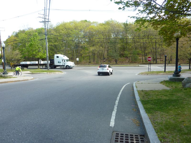
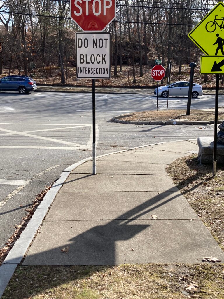
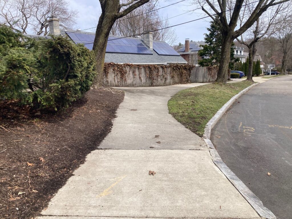
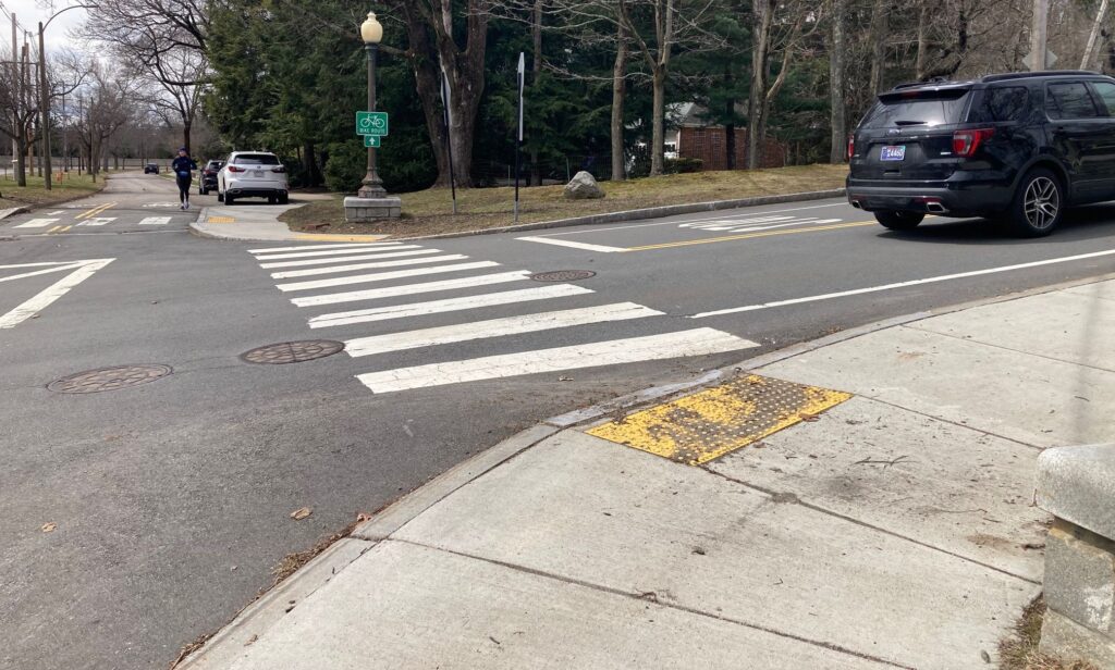
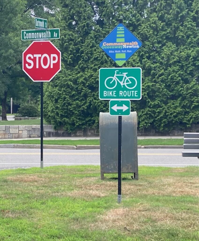
The official eastern terminus of the Carriage Road Two-Way for Bicycles is located at the eastern side of the intersection with Mt. Alvernia Road.

Cyclists riding east on the Carriage Road, toward Boston College and Boston will find that the eastbound Carriage Road bicycle lane ends HERE.
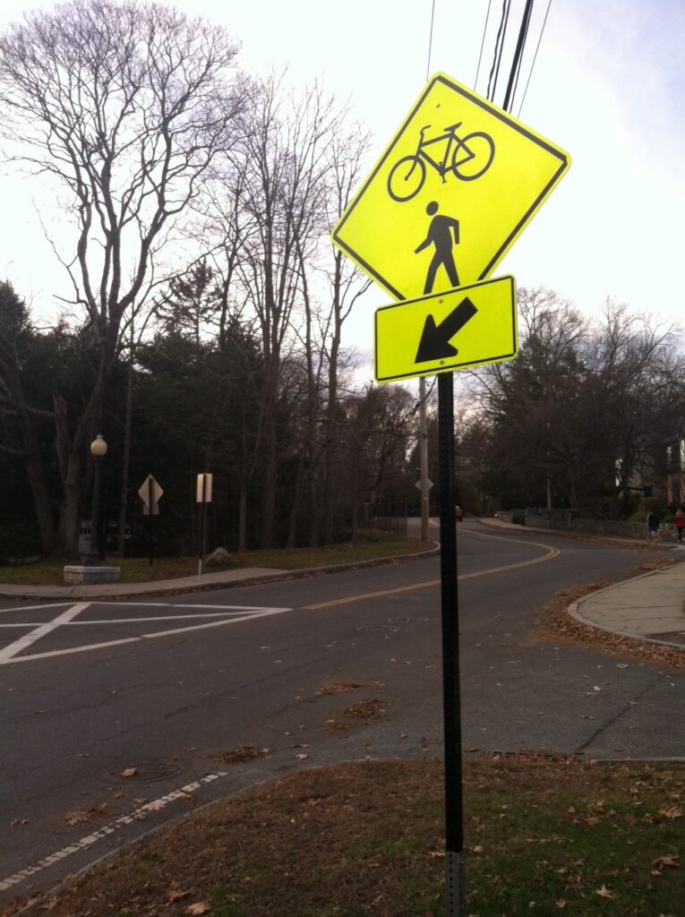
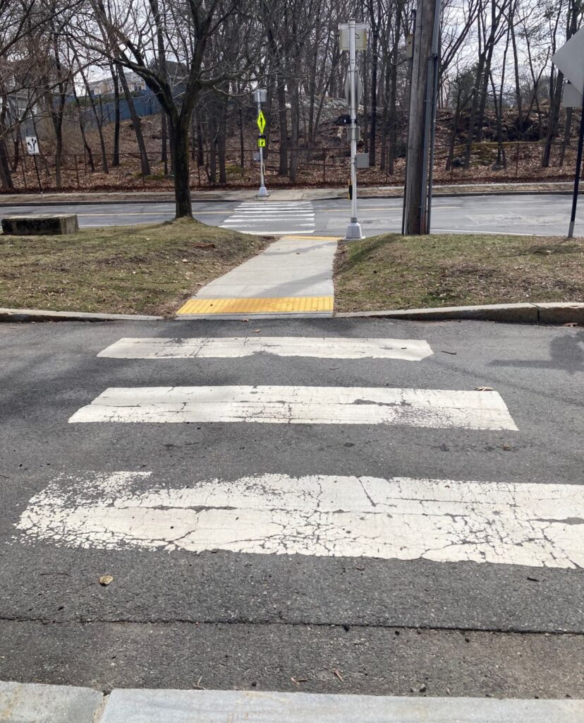

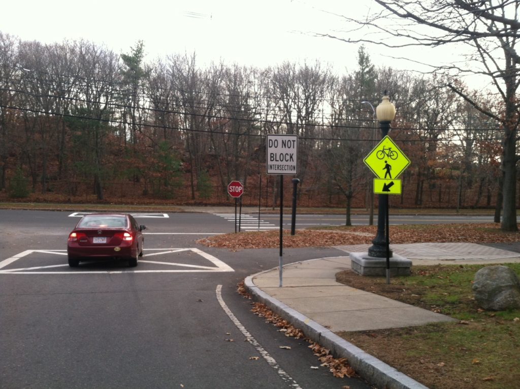
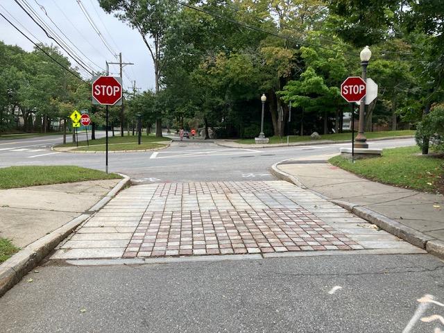
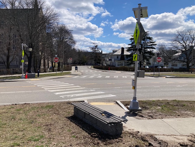
Note green sign: “BIKE LANE ENDS” and right-pointing arrow. Note also the paved footpath and the manually-operated RRFB.

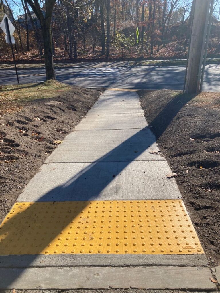
Fortunately there is an excellent paved pathway that is also ADA-compliant – that cuts through berm leading to Commonwealth Avenue; from there, you’ll now find an excellent crosswalk and RRFB (Rectangular Rapid Flashing Beacon) located on both the north side and the south side of Commonwealth Avenue to get you further east. (See image below.)

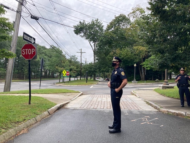
View of the bench and the RRFB located on the north side of Commonwealth Avenue at Mt. Alvernia. Simply press the button, wait for the lights to flash, look both ways to ensure all vehicles have stopped and it’s safe to cross, and cross.

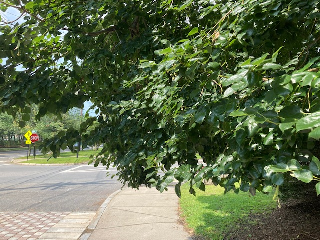
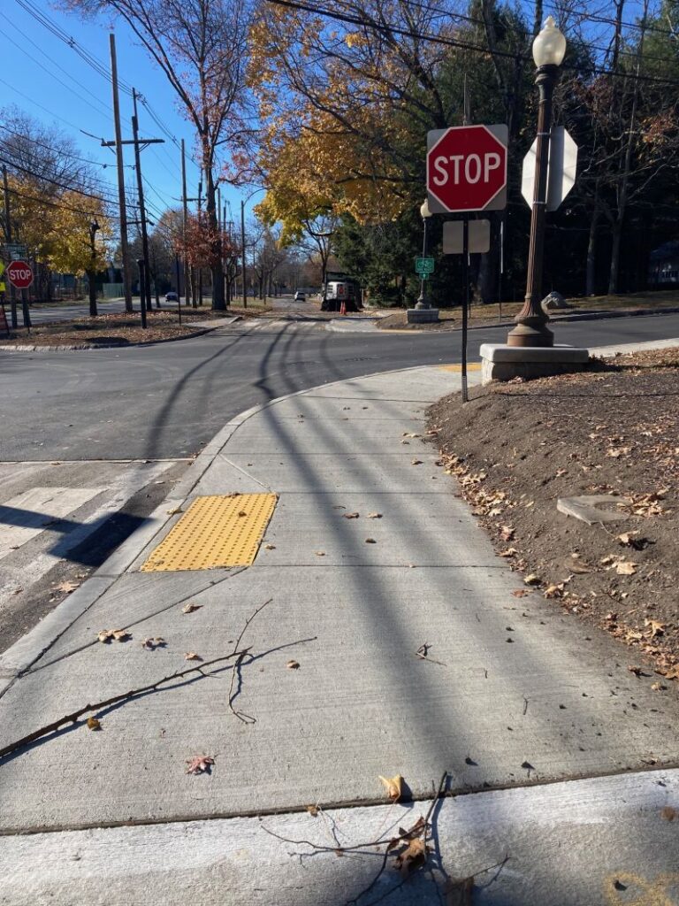
In the distance is College Road.

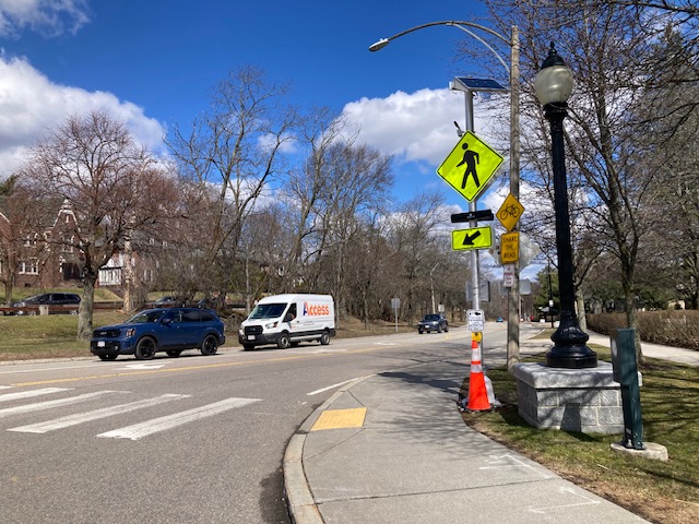
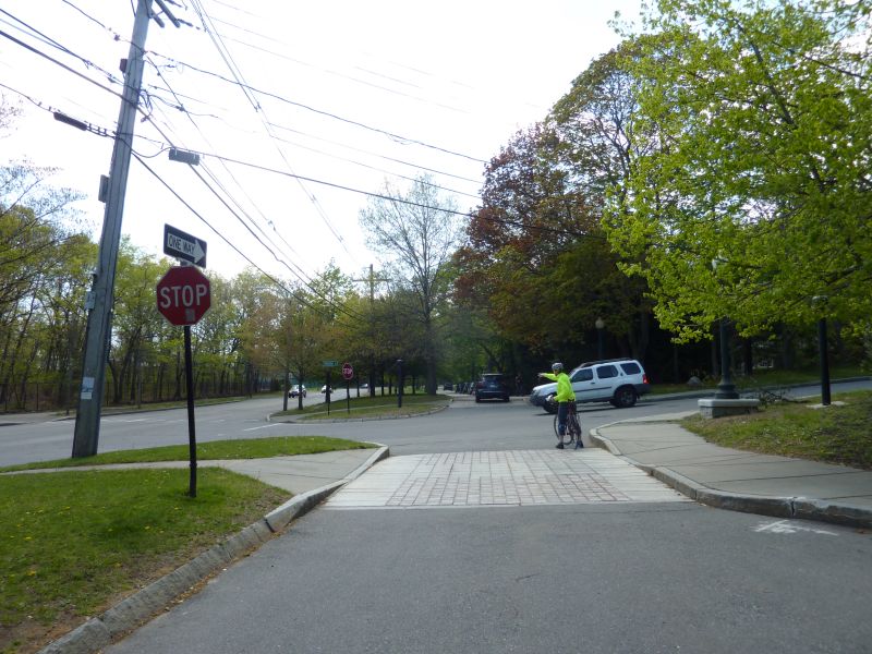
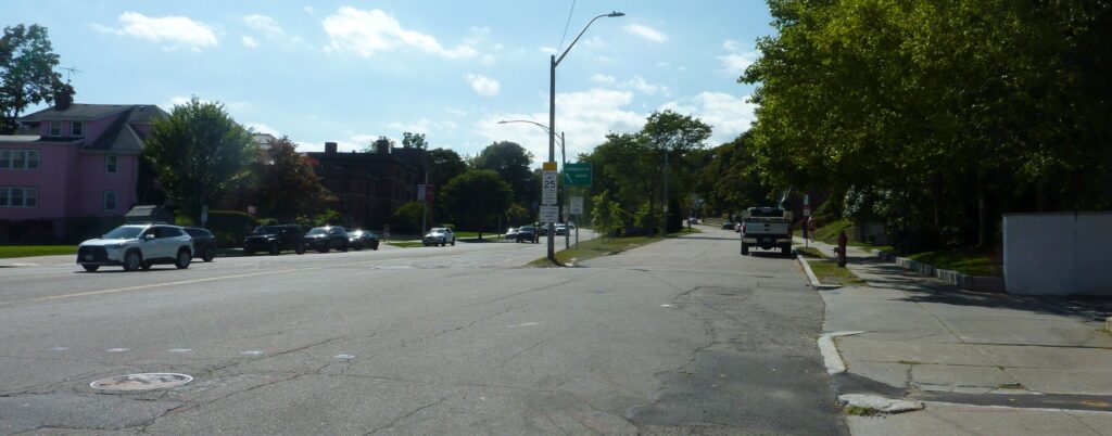
This is the south side RRFB, eastbound side toward Boston College, if you are beginning your ride at Mt. Alvernia on the south side. The motor vehicles in this image are heading west.

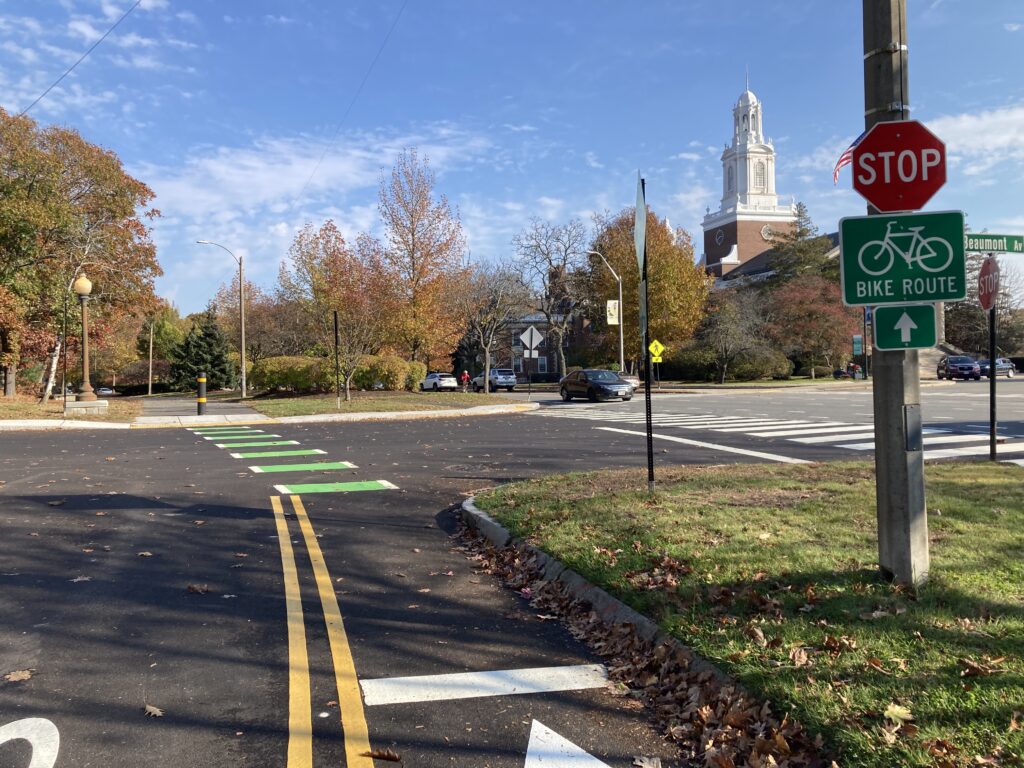
To cycle toward Boston College and Boston, continue from here.

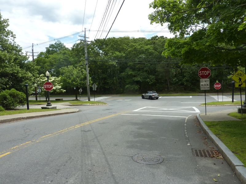
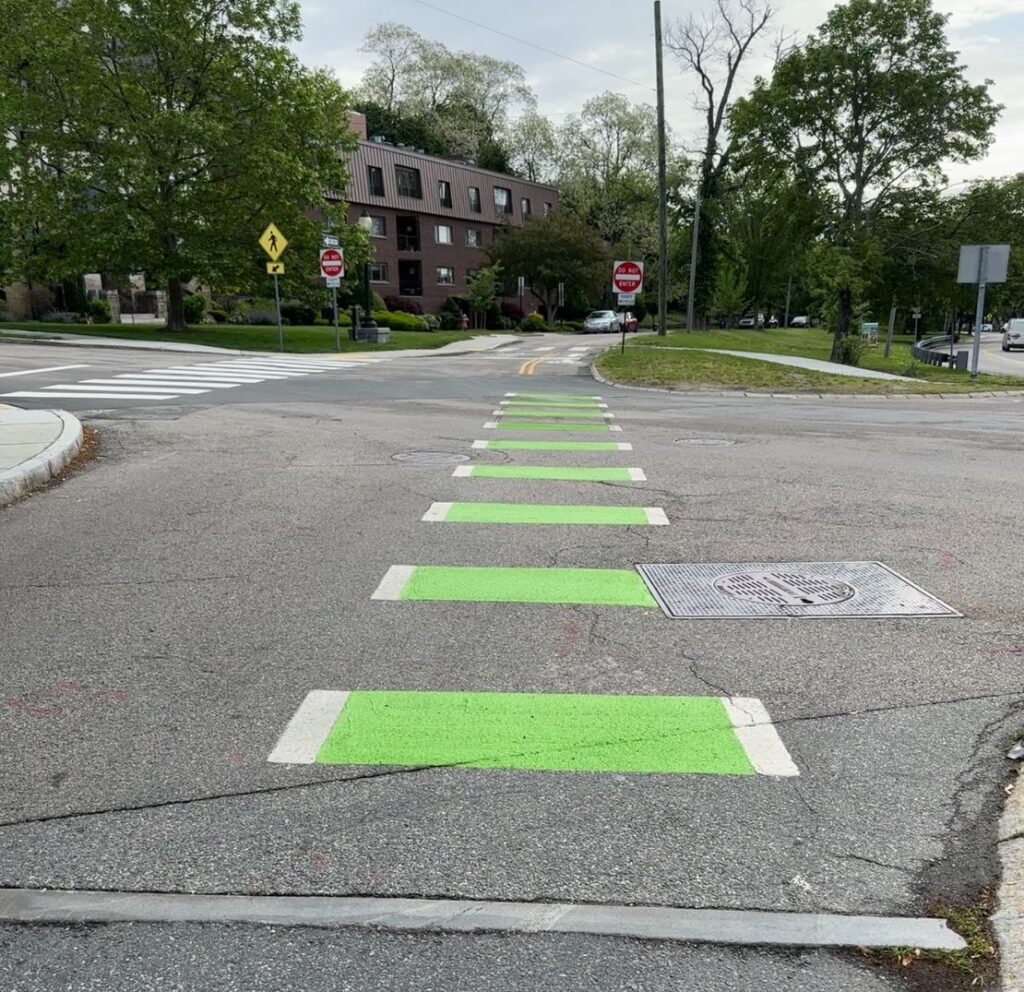
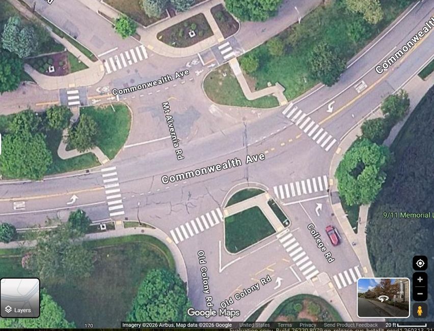
Note in the image below, the Carriage Road at the top of this image. Note two pedestrian crossings: one at the east side of the intersection with Mt. Alvernia Road coming, and one on the south side of that intersection. Note also that on the south side of the intersection with Commonwealth Avenue, two separate roads, College Road and Old Colony Road come in.

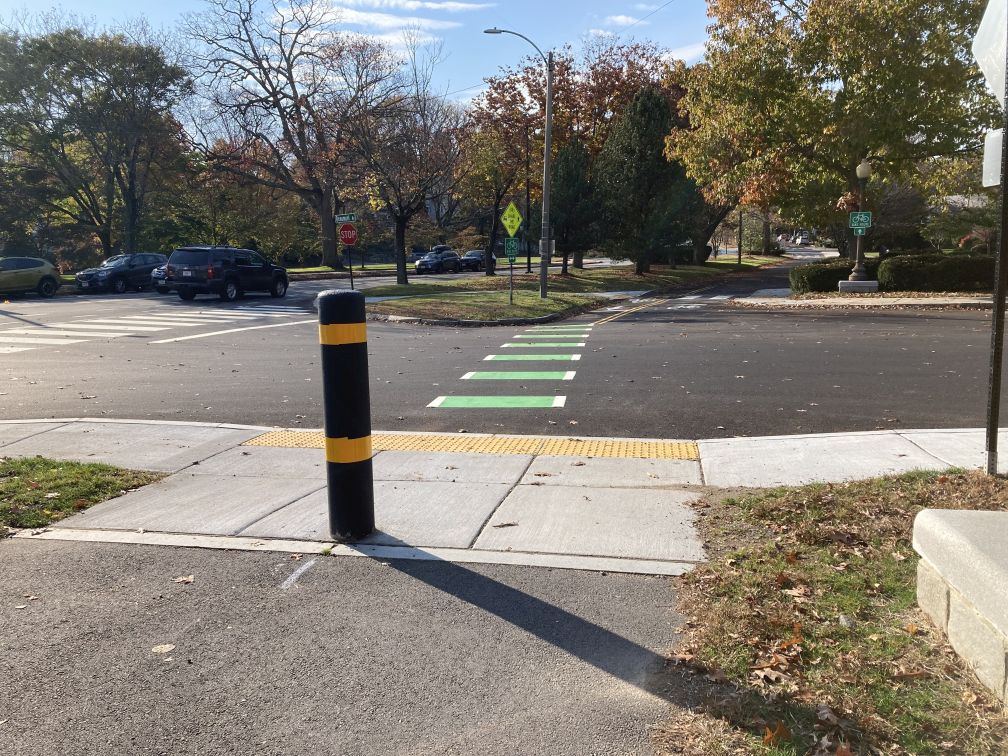
There is one RRFB on the north side of the pedestrian crosswalk leading across Comm Ave at College Road, the formal eastern terminus of the Carriage Road Two-way for Bicyclists, and one RRFB on the south side. There is also one RRFB on the north side of the pedestrian crosswalk leading to Old Colony Road, and one at College Road. The four RRFBs work in tandem. When a person presses the button at Colony Road, the College Road RRFBs also flash.

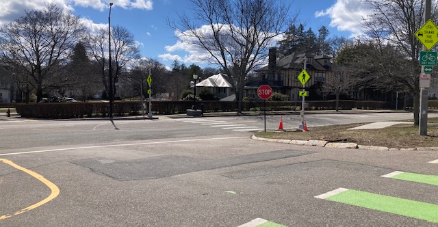
View of the pedestrian crosswalk across Commonwealth Avenue and the RRFBs at Old Colony Road on the north and on the western side of the berm opening.

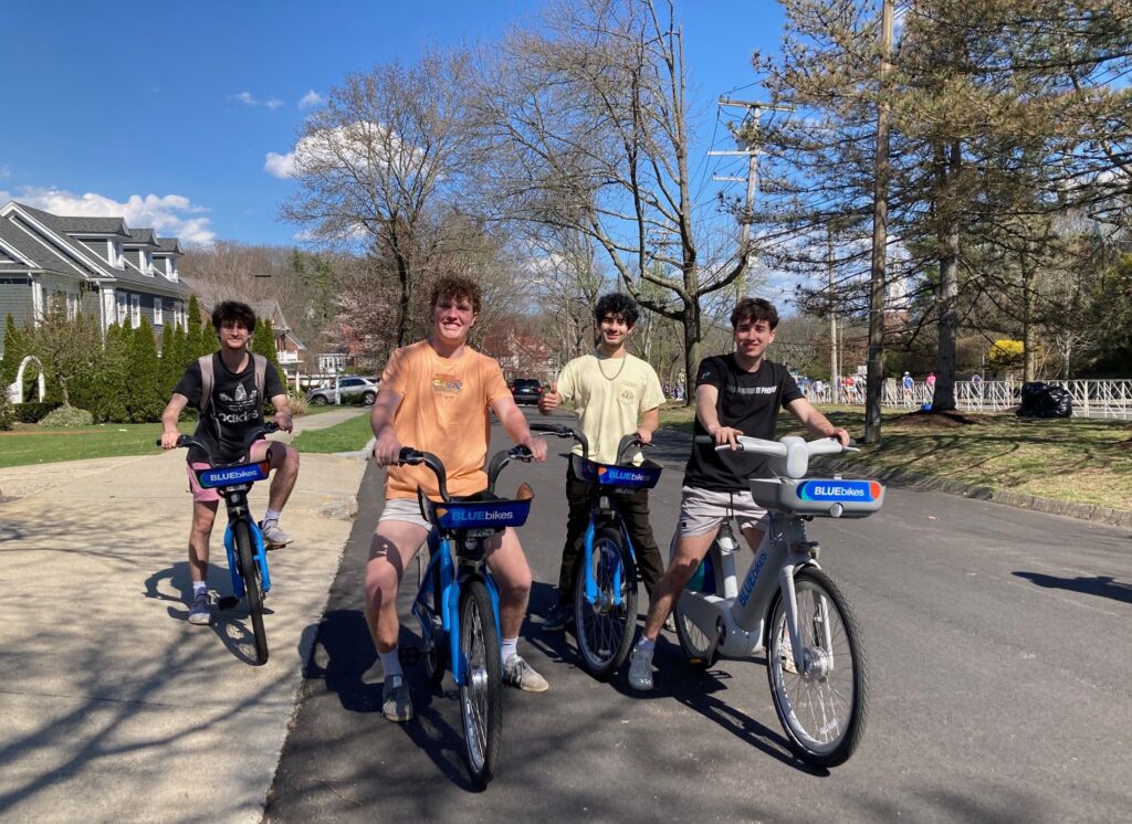
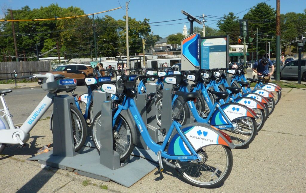
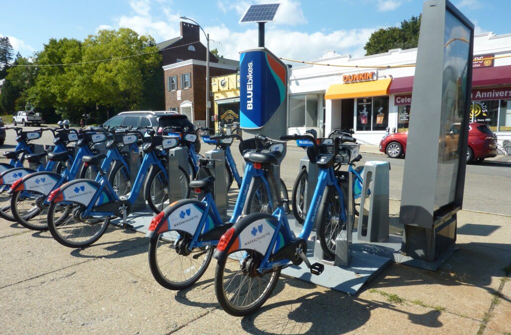
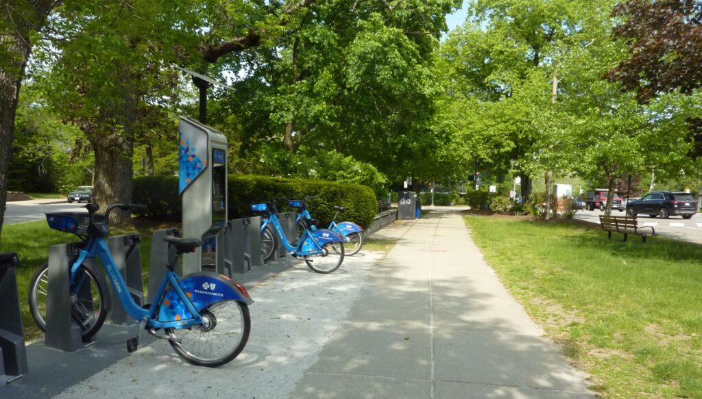
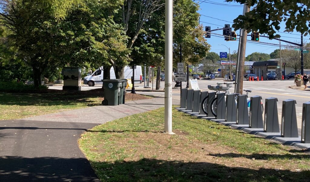
We hope that the City of Newton and the City of Boston will work together to make it safe for bicyclists to continue east along the Carriage Road, to where the Carriage Road ends, just before the Boston College MBTA Greenline “B” line station and Blue Bikes station.

Eastern/Boston College END OF THE CARRIAGE ROAD. Carriage Road into Newton on the right. Commonwealth Avenue on the left.

Valentine Street Gets a Pedestrian Crosswalk, a Makeover, and More, at the Carriage Road

Before

At first, for drivers of the Carriage Road, the STOP sign was too far from the intersection. We had it moved closer to the intersection and DPW installed a second STOP sign on the right side.

The only existing STOP sign was located at Commonwealth Avenue.

Still drivers would stop and wait in “the box,” thus blocking pedestrians and bicyclists from travel east/west.

DPW added a STOP sign on the right, but it was under the tree limbs and not particularly visible, esp as drivers were coming out of a bend in the road. So a second and larger stop sign was installed on the left. It too didn’t help much to get drivers to stop.

A Pedestrian/Bicyclist sign was added for drivers from Comm Ave, by DPW engineer, Zach Bosch.

Before

After working with Parks and Recreation to keep these bushes off the sidewalk.

Before

After working with Parks and Recreation to trim bushes and trees so pedestrians can safety and comfortably pass.

Chief Carmichael agreed that 1) the STOP sign needed to be relocated closer to Valentine (see left image) and 2) a second stop sign added on the right (see right image). DPW did both.

Chief Carmichael noted that a pedestrian crosswalk needed to be installed at the base of Valentine Street, before it intersected with the Carriage Road. After the Carriage Road was repaved in 2023, new ADA-compliant curb cuts are installed. A pedestrian crosswalk was installed across Valentine, as well as several others: One was added across the Carriage Road berm to the east of Valentine and then across Commonwealth Ave, for people wanting to safely cross Commonwealth Avenue; and another one was installed to the west of Valentine across the berm from the Carriage Road and then across Commonwealth Avenue.

Bluebikes Docking Stations Along the Carriage Road in Newton

A Bluebikes brigade, Marathon Monday

BOSTON COLLEGE T

This docking station is open all year long.

Located in the triangle by the MBTA at the end of the Green Line B (“Boston College) branch.


Opposite the Dunkin’ and other shoppes.


If this is your starting point to head west, Commonwealth Avenue is to the left; the Carriage Road is to the right.

CENTRE STREET AT COMMONWEALTH AVE”

This coming winter, check to see if this station is being serviced.

Located west of Centre Street, in the village of Newton Centre, on the footpath between Centre Street and Grafton.

NEWTON LIBRARY”

One block south of the Carriage Road, along Homer Street, at the intersection of Beacon St and Homer.

This coming winter, check to see if this station is being serviced.

View toward Homer Street, the City Hall Park, and the Commonwealth Avenue Carriage Road.


View toward the Newton Public Library.

AUBURNDALE”

Located in front of Starbucks, in the village of Auburndale, just west of Lexington Street.

This coming winter, check to see if this station is being serviced.

View across Commonwealth Avenue toward Dunkin’ Donuts.


View east toward the N/S cross street of Lexington St. To the left of the footpath is Starbucks.


Intersection Markings: How Are those Green Dashed Bike Lane Lines Made?

Conflict Points

The intersections are the most dangerous locations along the 5 miles of the Carriage Road. The potential for crashes and conflicts between eastbound or westbound bicyclists, runners and pedestrians and northbound or southbound motor vehicles is highest at these intersections. The new green dashed pavement markings for eastbound bicycles and bicyclists are intended to increase the awareness and visibility of eastbound bicyclists at these locations and the existence of bicyclists and other vulnerable users in general.

At locations with a bike lane approaching the intersection, the bike lane should continue through the intersection into a receiving bike lane on the far side.

But How Are Those Green Stripes Made?

For more information, click here.

Manet and Mt. Alvernia: Green Bike Lanes Now Include Two More Intersections

Due to water main work, the striping through intersections of the Commonwealth Avenue Carriage Road and Manet Road, and the Carriage Road and Mt. Alvernia could not be done. We are pleased that the water main work has been complete and DPW has completed the required green paint for the eastbound bike lanes.

Here they are:

The Carriage Road Crossing Manet

Heading eastbound toward Boston: Crossing Mt. Alvernia Road

Legally, this is the eastern terminus of the Two-Way for Bicycles.

The two-way for bicycles do not legally extend east past Mt. Alvernia. Bicyclists are asked to take the footpath to Commonwealth Avenue and proceed east from there.

We are working on extending the two-way past Mt. Alvernia to Boston and Boston College.

Stay tuned.

Beaumont Avenue: Western End of Footpath from Centre St

Though it’s across the street from City Hall, it is was included in the City Hall Sidewalk Restoration Project. We’re glad it was!

View across Beaumont, looking east.

View across Beaumont, looking west.

New sidewalks, new bollards, new ADA curbs wide enough for wheelchairs, runners and bicyclists to safely head both east and west at the same time.

The Boston Marathon 2025 Newton


The legendary course began in Hopkinton, MA and ended 26 miles later on Boylston Street in Boston, MA but the legendary HEARTBREAK HILL is in the heart of the City of Newton! Thousands of Newtoners came out to Commonwealth Avenue to cheer on the runners. Come see some images from the 2025 and the 2024 marathons as the runners made their way along miles 16 to 21, some of the most difficult of the entire 26-mile route of the famed Boston marathon.

Ribbon-cutting Celebration of Carriage Road Two-Way Bike Lane

Timed to occur National Bike Month, and the morning of the first workday of Bike to Work Week, this bike breakfast and ribbon-cutting that occurred Monday Morning, May 13, 2024 was an amazing and enjoyable time for all.

Read the FIG CITY NEWS article Celebrating 14 years of efforts to improve bike safety on the event.

Watch the NEWTV Two-Way Carriage Lane Officially Opens: “After years of advocating, The Commonwealth Avenue Carriage Road was officially opened as a two-way bike lane on Monday with a ribbon-cutting ceremony with all those who helped make this possible.”

Thank you again to our great Newton sponsors: Heartbreak Hill Running Club (Comm Ave & Centre St, Newton Centre), The Roasted Spoke Bicycle Shop (Walnut St at Washington St, Newtonville), Rosenfeld Bagels (Centre St at Piccadilly Square, Newton Centre), and Blackers Bake Shop (Comm Ave Carriage Road at Irving St, Newton Centre).


You’re invited!

Join Mayor Fuller, City Councilors and members of the bike community who made this happen as we celebrate the new bike lane on the Carriage Road with a ribbon-cutting ceremony. Coffee and refreshments* will be provided to kick off Bike to Work Week. Sponsors of this event include our local businesses Heartbreak Hill Running Company (638 Commonwealth Ave, Newton Centre) and The Roasted Spoke Bike Shop. (260 Walnut St., Newtonville). Gratitude to Newton’s own Bike Newton (where membership is free!) for co-sponsoring this event and helping with set-up.

Event time: 8am – 9:30am.

Location: Beaumont Ave at the Carriage Road. Bike parking (and MWRA water truck to fill up water bottles) provided.

*Refreshments Certified Kosher; freshly baked goods donated by Rosenfeld Bagels and Blackers Bake Shop

MassDOT’s Map of Shared Streets Network

You can now find the Commonwealth Avenue Carriage Road on MassDOT’s map of Bicycle/Pedestrian Priority Roadways!! This is a great map of existing bike infrastructure. It also shows planned bike infrastructure.

Visit Massachusetts Priority Trails Network to locate Newton and the Commonwealth Ave Carriage Road, from Mt Alvernia in the east to Higgins Street in the west. You’ll be able to zoom in on any specific location along this entire route. Or just click on the map below.