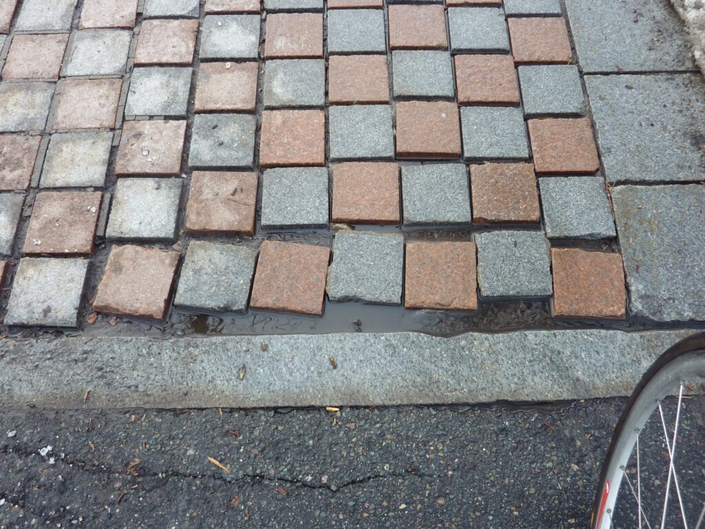
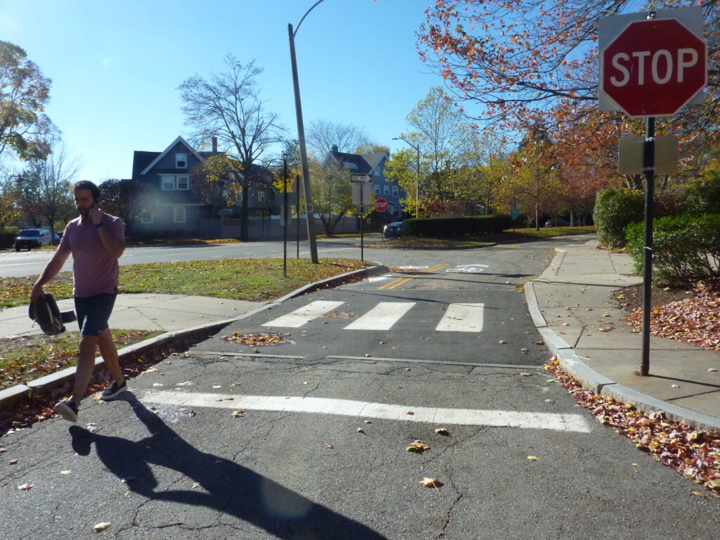
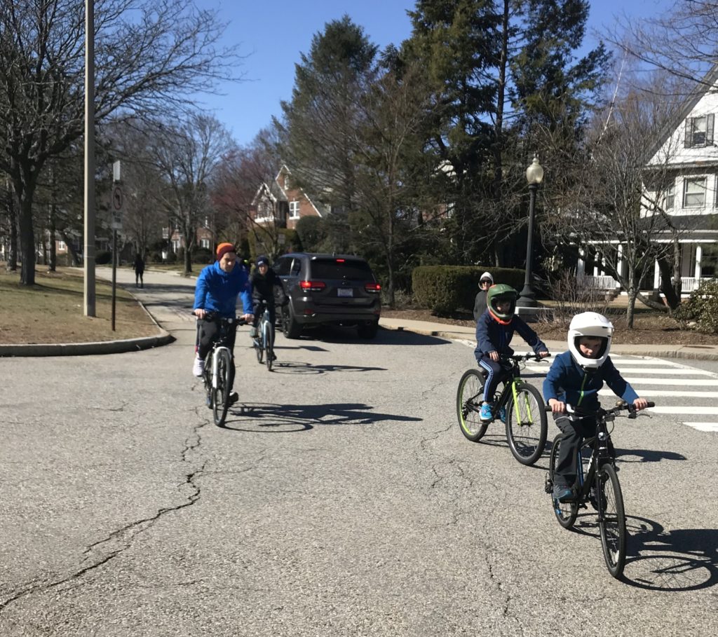
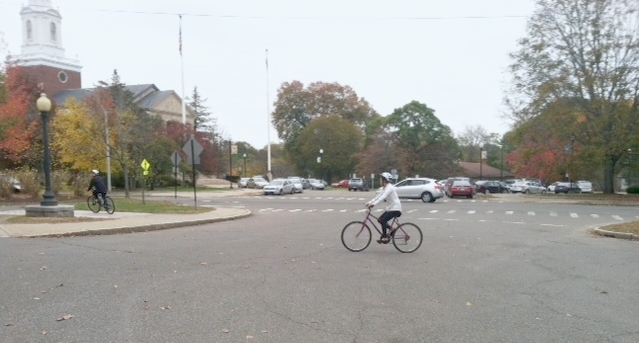
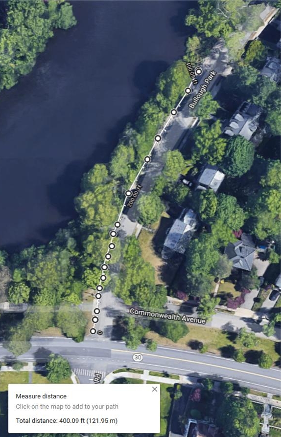
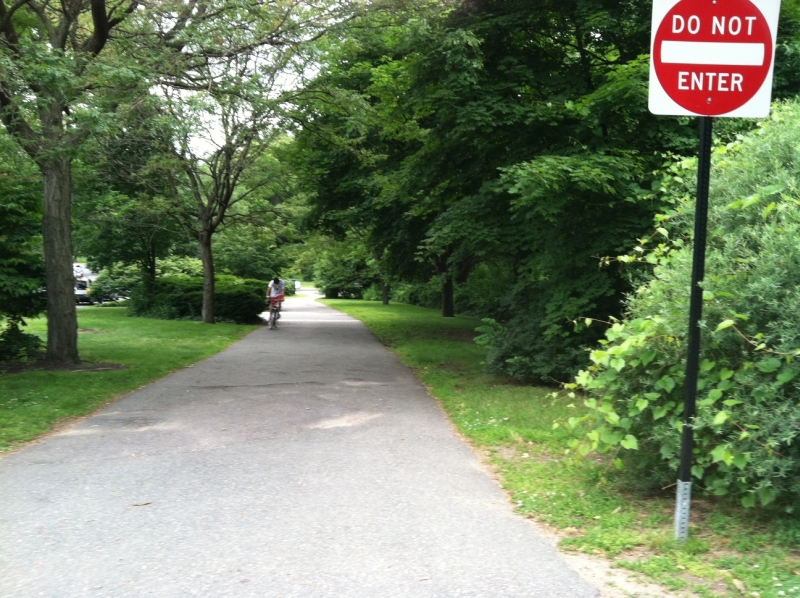
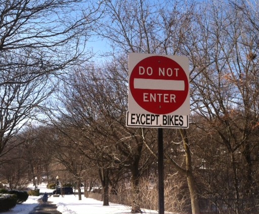
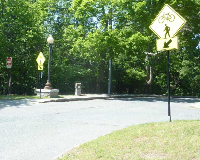
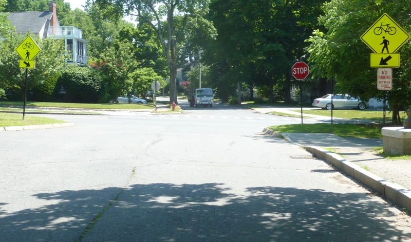
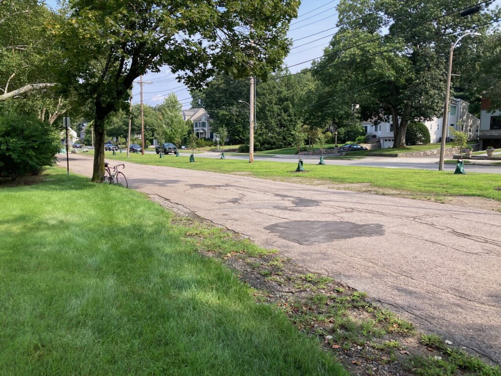
Have you driven by, biked, run or walked on the Carriage Road between Bristol and Chestnut? This area, now called Bristol Mini-park, was officially created on Feb. 24, 2021, when this proposal passed Traffic Council unanimously. It is the permanent closure of this 330′ of roadway to motorized vehicles. From now on, it is open only to pedestrians, runners, and bicyclists.
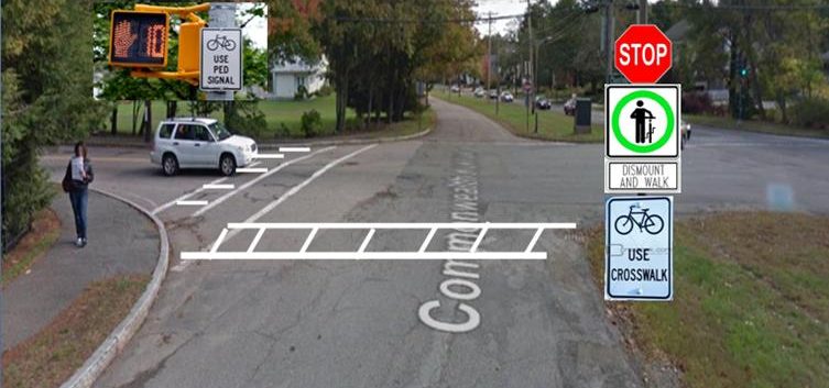
My idea for this goes back to 2015. The City was struggling to stop the number of vehicular crashes occurring at the intersection of the Carriage Road and Chestnut St. For several years Traffic Council had tried to solve this by passing a “Right Turn Only” at the corner of the CR and Chestnut. But the crashes continued, as drivers along the Carriage Road violated that restriction, and drove straight across Chestnut.
I realized the solution was to close this stretch of road to motor vehicles, which was possible as there were no driveways this entire block. I suggested this idea of closure to Councilor Andreae Downs, who then docketed this (TC161-20) before Traffic Council. It passed unanimously.
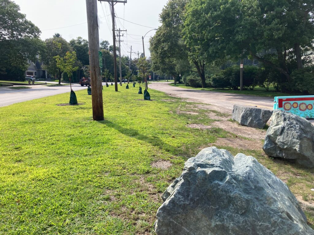
My having connected with Parks and Recreation, in November 2022, Parks and Recreation planted fourteen beautiful flowering 4C trees (Capture Carbon Commemorate COVID-19) in the berm here. These trees, Syringa Reticulata, Syringa Snowcap, Prunus Sargentii Spring Wonder and Prunus Sargenti Rancho, are now thriving and adding gentle pink and white blooms, to continue next season, and in subsequent years.
Next, Parks, Recreation and Culture under Commissioner Nicole Banks located beautiful large boulders at the entrance to this mini-park in 2023. We hope this will be a template for future decoration or theme of the park entrances, both at Bristol and at Chestnut.
Our first official event in this mini-park, the Bicycle Lights Giveaway at Bristol Mini-Park, took place on Sunday, October 15, 2023. A highly successful event, it was co-sponsored by BikeNewton and MassBike. The MassBikes Lights Brigade aims to brighten up cyclists across Massachusetts by distributing sets of front and rear bike lights. and this was the first ever such event in Newton!


We look forward to the development of this area as a place of rest and repose, shade, and reflection, and more special events like the Bicycle Lights Giveaway to keep cyclists and others safe when cycling, running or walking in the dark.
For additional coverage of this topic, please click HERE.