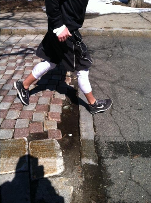
You may be asking yourself, “What’s this I hear about the proposed two-way bicycle travel on the Carriage Lane?” People of course want to visualize what our proposed changes to the Carriage Lane will be. We want to make it easy for you. Whether you are a driver, a walker, a dog-walker, a bicyclists or a runner, we also want you to feel safer with these modifications.
We have provided you two downloadable documents; see the links below. Read what the major modifications proposed will be, and why, and what they will not be:
NO changes to vehicle direction of travel
NO parking removal
Signage and occasional paint added, generally only at intersections, to ensure safe travel for all users.
NO white stripe down the middle of the Carriage Lane
1) You can download a .pdfof the PowerPoint presentation which Phil and I made at that meeting. You can put yourself in the point of view of a bicyclists or pedestrian, or a driver. Please note these are not official Dept of Transportation drawings, but Phil’s and my rendering of approximately what the signs and striping would look like. Final decisions are of course made by the Transportation Dept. engineers in compliance with State law.
2) The Transportation Engineer of the Transportation Dept made a presentation (downloadable) which is from a transportation engineer’s point of view. Most of the images are aerial.
The current phase of this two-way bicycling plan excludes signalized and other large intersections.
The two-way would end, on the east, at Mt. Alvernia St. When CIP funding can be obtained to make these intersections safe for eastbound bicycle traffic, other sections and intersections will be discussed one by one.
Whether you are a driver, a pedestrian, a bicyclists, a runner or a dog-walker, the changes we propose will be low budget and safer for all.
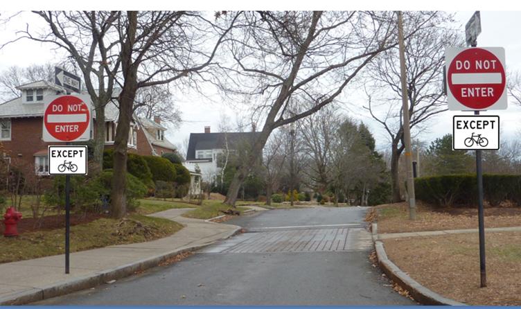
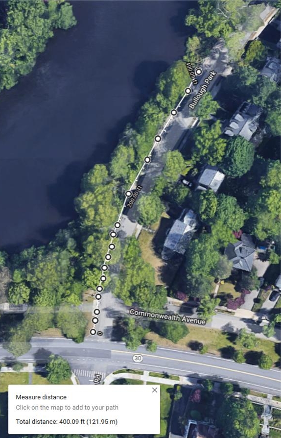
This section is a special case: As Bulloughs Park approaches Commonwealth Avenue, it bisects a section of the Carriage Lane on the east that is open to EB driving, and a section of Carriage Lane on the west that is a footpath only, and closed to motor vehicles.
It is also a very popular section: Drivers get a view of Bulloughs Pond on their right, and also get to bypass the traffic light at Walnut Street.
This design however has presented several dangers. We identified a few problems and a few solutions and below you will see how these have turned out.
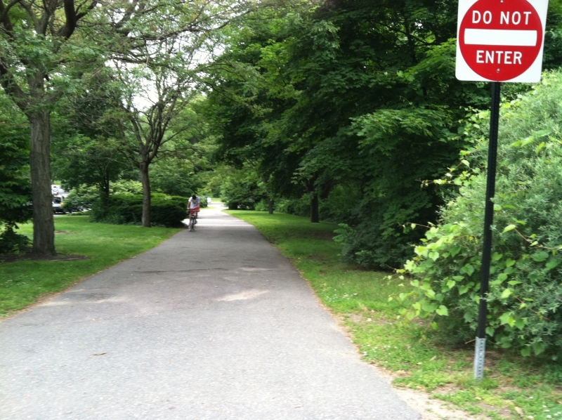
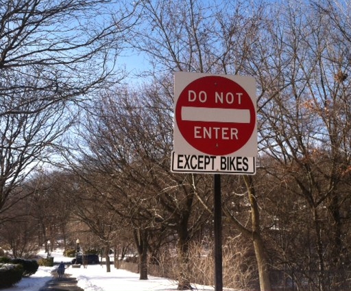
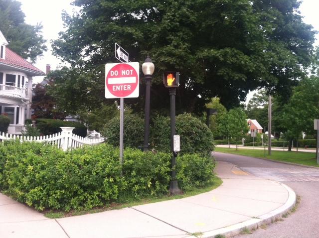
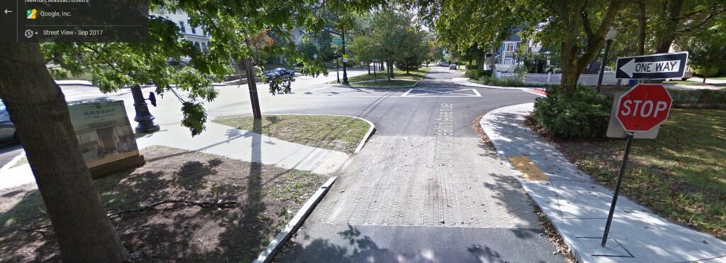
First, in 2012 at our request, DPW added an “EXCEPT BIKES” sign to the bottom of the “Do Not Enter” – which had previously not had any such signage at all – where the footpath begins, for those heading west:
Footpath between Bullough Park and Walnut St: View west toward Walnut Street
Another problem was the cobbled area immediately east of the intersection. The cobbles were seriously coming apart, with gaps as wide as 8 inches, and this presented a serious tripping hazard to the thousands who walked and ran here.
It took some time, but in the autumn of 2017 DPW removed the cobbles and replaced them with a new experimental surface.The Dept of Public Works was so proud of their work that they even tweeted about it (The Tweet has since been deleted, as the DPW isn’t carrying Tweets earlier than 2018 now.):
Carriage Lane before Bulloughs Park, after
With the rise in the popularity of walking on the Carriage Lane, we noticed that people started parking their cars on Bullough Park, very close to the intersection with the footpath, and this would block a southbound driver’s ability to see a pedestrian or bicyclists exiting the footpath area. Councilor Downs agreed to docket regulations that prohibited parking for some distance north of that footpath.
Potential Danger!
Once again, thank you to Councilor Downs for docketing this new signage.
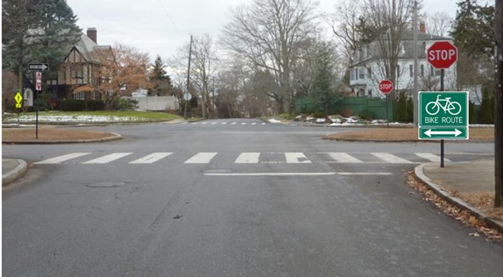
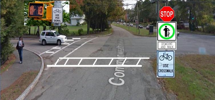
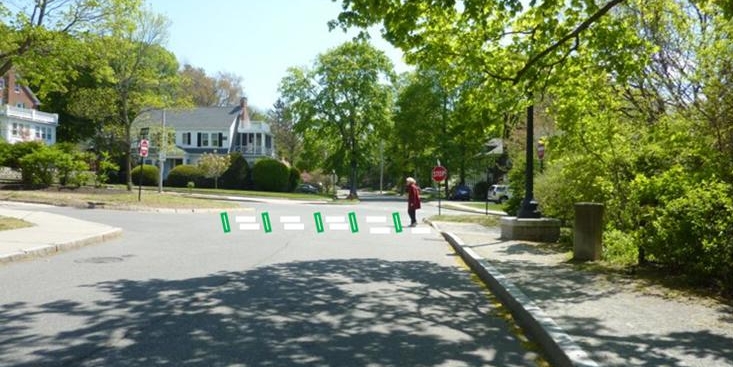
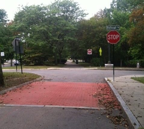
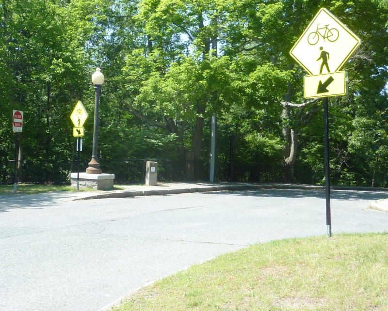
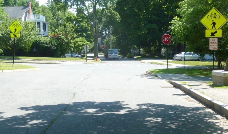
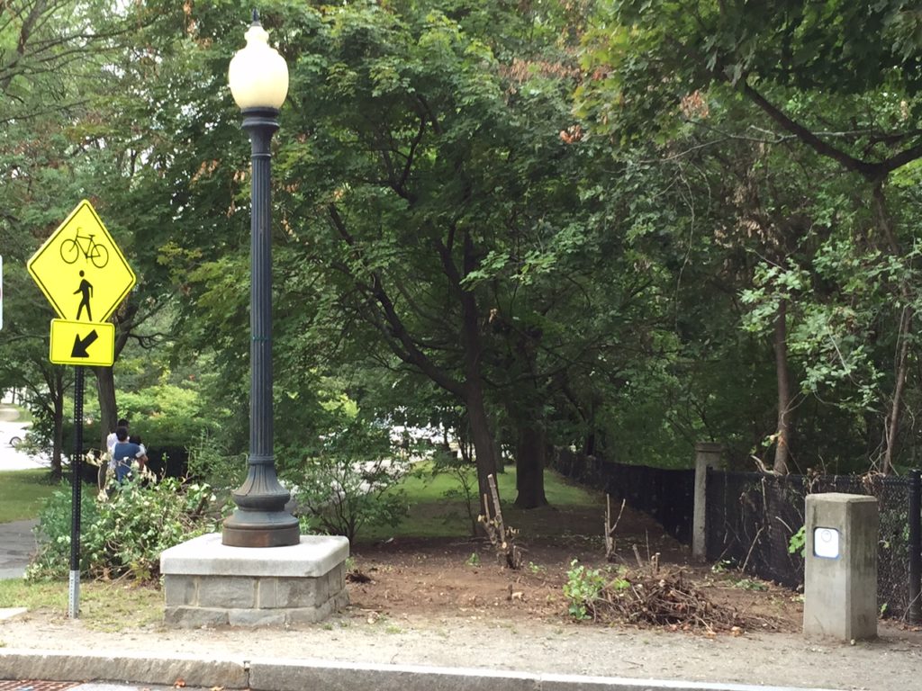
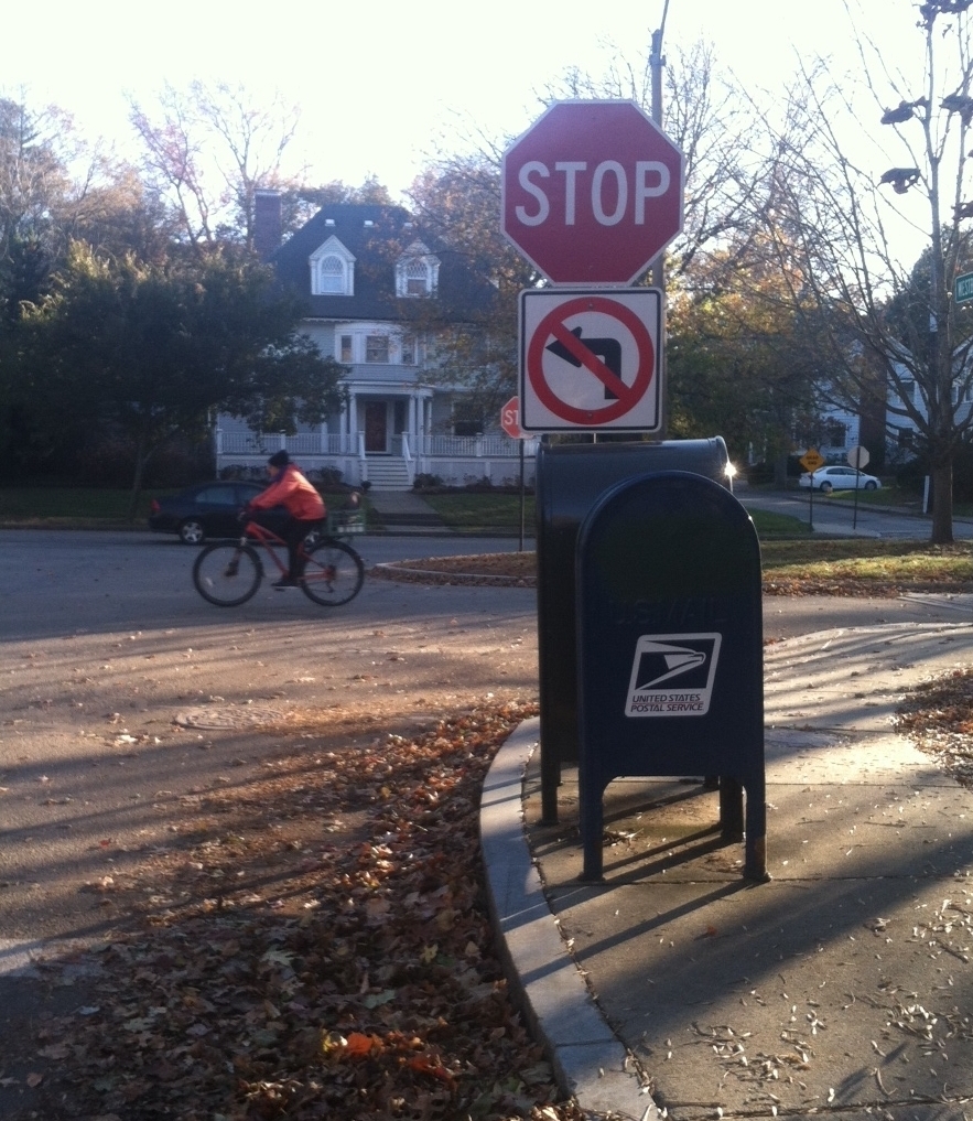
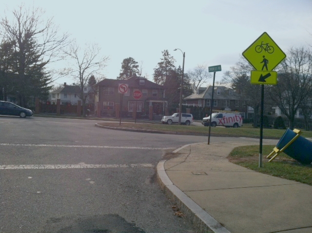
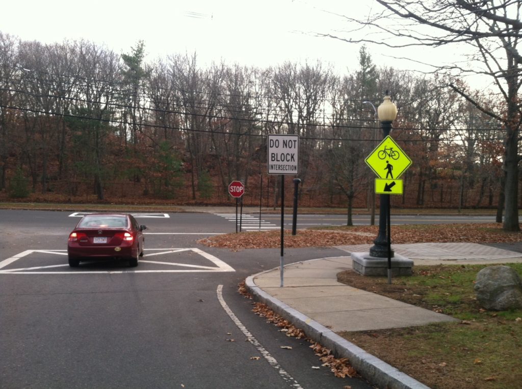
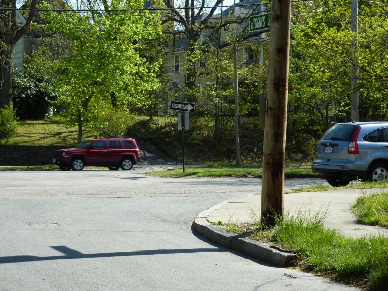
Recently we put in a request to add a pedestrian crosswalk here. Due to regulatory requirements, that request could not be fulfilled, but engineer Isaac Prizant worked with the Traffic Coordinator to add additional signage here, to awaken, and warn, drivers to the existence of bicyclists and pedestrians using this area as a crossing along the Carriage Lane. (The original diamond-shaped signs were added in 2015 by Transportation Zach Bosch (at our request) at various locations up and down the Carriage Lane.)
view north (for drivers just leaving Commonwealth Avenue and turning onto Bulloughs Park.
View south toward Commonwealth Avenue. Note new sign on the right.
More recently, Traffic Council approved a parking restriction and added, all new signage on existing poles to ensure visibility of exiting runners.
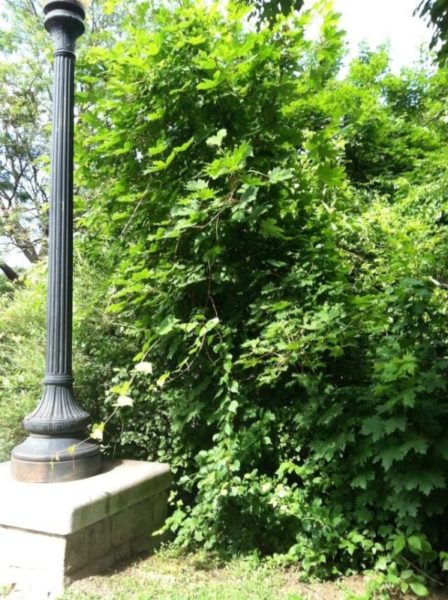
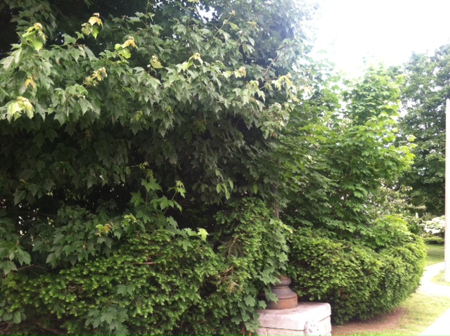
Commonwealth Avenue’s berm is a beautiful cascade of grass, trees, and flowering bushes, which makes it an ideal linear park. The corners of the crossroads and the Carriage Lane are adorned with statuesque lights on the SE and SW corners that sit in beds of perenniallly blooming bushes. The crossroads are lined with lovely and tall trees. However, often these overhanging branches and bushes grow to obstruct the vision of drivers. When this happens, these bushes and branches need to be cut back.
We think that the Dept of Parks and Recreation needs to be a part of the team, and needs to be invited to play a fundamental role in ensuring safety along the Carriage Lane. We think also that keeping foliage trim can beautify the garden area, as you’ll see in the photos below, and they are happy to be a part of that team and ensure safety for all.
In walking, biking and running up and down the Carriage Lane, we identified a number of intersections (see below) where safety is compromised because pedestrians going in one direction and drivers going in another cannot see around corners to see each other approaching and behave appropriately. Often the foliage was a modest size when small, but it has now grown to be too large in that location.
Below are some examples of locations where we contacted Parks and Recreation, who came in and saw the problem, and appropriately – and quickly – addressed the situation.
1. The first example is the intersection of Bulloughs Park and the Carriage Lane. Here, on both the NW corner and the NE corner, Phil and I personally got permission from Parks and Recreation to cut down the massive amount of foliage and eliminate the long strands of bittersweet that were was killing other nearby trees. Before, drivers approaching the opening to the pedestrian walkway between Bulloughs Park and Walnut St could not see eastbound pedestrians as they were about to approach the road, and southbound drivers could not see approaching pedestrians. See some photos below:
NW corner, before
NW corner, after (ignore piles of clippings which were later removed by DPW, who also came in and dug out the stumps.)
NE corner, before
NE corner, after
The ewes on the NE corner of Morseland and the Carriage Lane were extremely overgrown, and this compromised visibility of drivers on Morseland Road heading south and drivers (including bicyclists) on the Carriage Lane heading west. Happy to say that Commissioner DeRubeis personally came and saw this, and made sure that the bushes are kept low on a regular basis.
The pedestrian crossing on the berm east of Cedar Street created a sight line problem due to the existence of the utility pole and a row of ewes there on the left. Drivers along the Carriage Lane could not see pedestrians crossing over to the Carriage Lane side until they were second from colliding.
Commissioner DeRubeis graciously had removed an entire row of those ewes to give better visibility. (The mound of mulch has since lowered.)
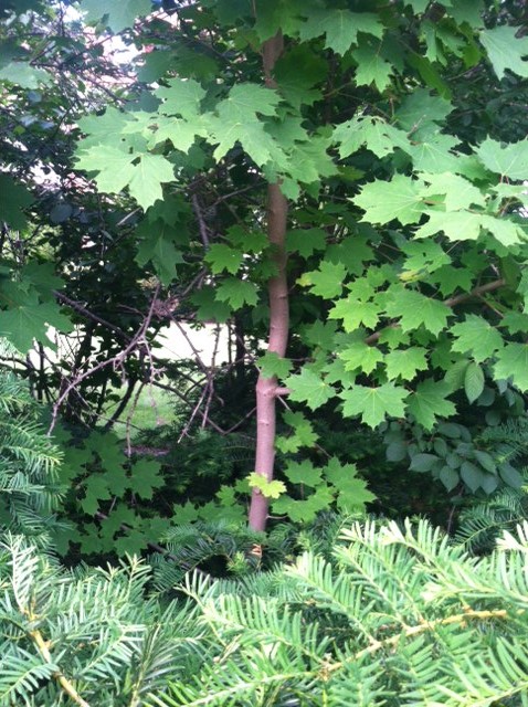
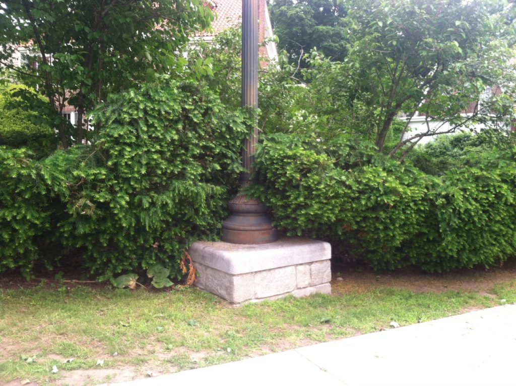
This intersection at the NW corner of the Carriage Lane and Hammond Road had been ignored for years. The gas lamplight was totally consumed by trees.
Comm. DeRubeis sent the team out right away and they got to work. See the finished product below. They also identified cherry and other blooming trees that had been totally obstructed, which could now be showcased.
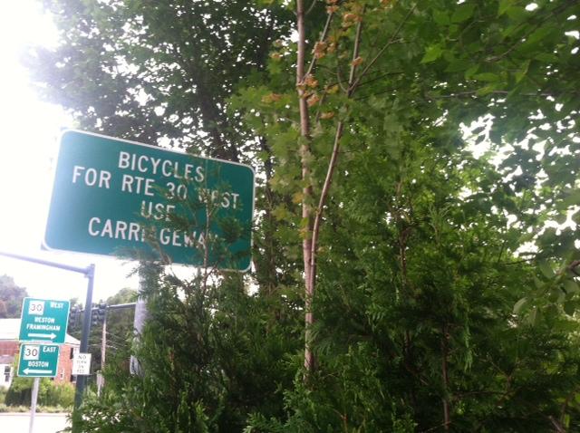
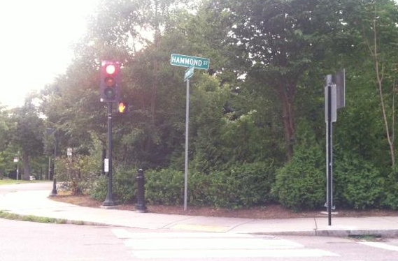
Around the corner, the view of the NW intersection of Hammond and the Carriage Lane was so overgrown that foliage had gobbled up tall directional signs.
before: NW corner, Hammond Road and the Carriage Lane, view from Hammond
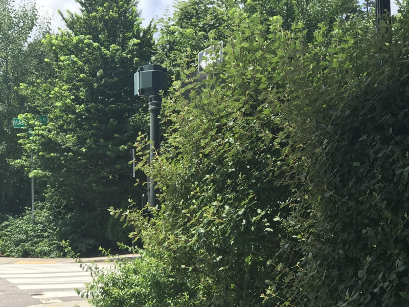
The NE intersection of Hammond and the Carriage Lane was also so overgrown that foliage had gobbled up directional signs, and traffic signals.
before
after. So beautiful.
We hope that all the intersections below, and others, will be catalogued and pruned back annually. We also know that there are other locations where foliage has grown to impact safety and can and should be pruned back, or removed entirely.
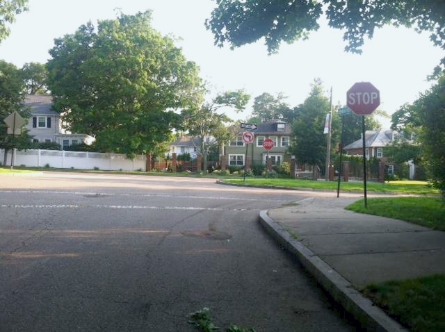
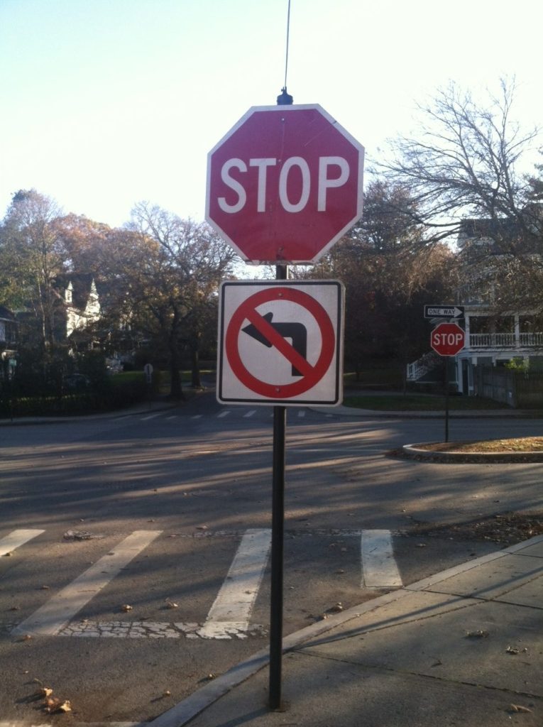
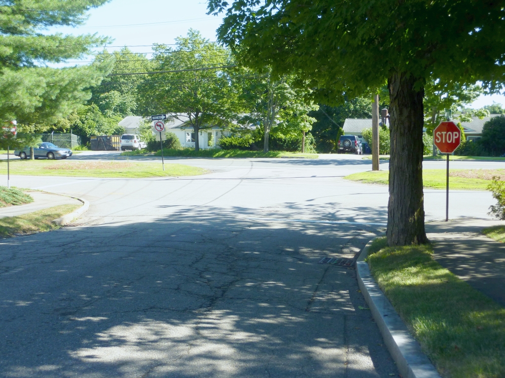
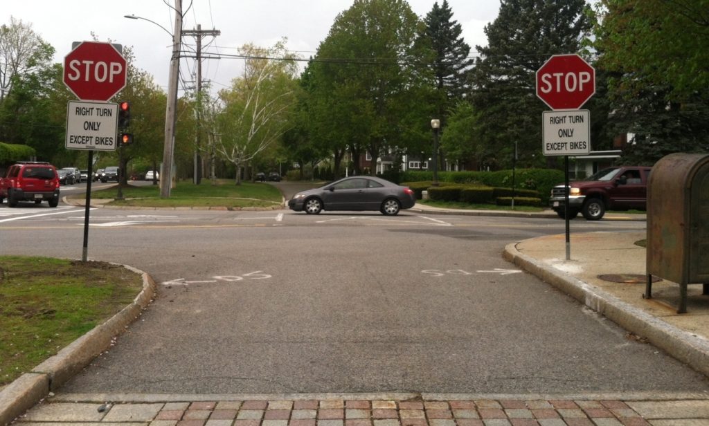
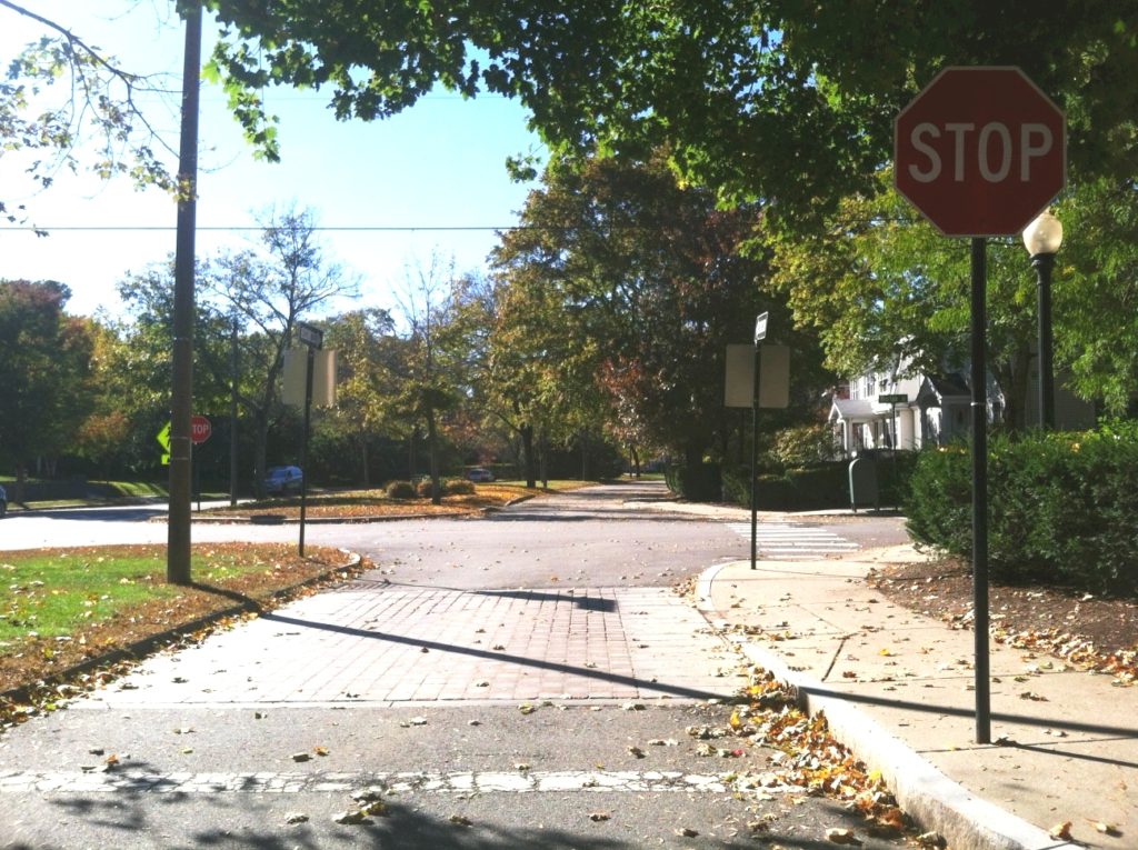
One serious safety issue was that very often there was no official stop sign along the crossroad, north of the Carriage Lane, for southbound (SB) drivers. This presented extreme dangers: motor vehicles would head on a non-signalized crossroad south toward Commonwealth Avenue and drive straight through an intersection with the Carriage Lane, with no warning to any non-driver using the Carriage Lane. Furthermore, runners were coming from the west and heading eastbound, and near-collisions between EB runners and SB drivers were not uncommon.
We eventually learned that in Newton, the Traffic Council, a sub-committee of the Public Safety and Transportation Committee, has to approve all requests for stop signs. To the Traffic Council we went.
We began by asking Councilor Emily Norton to docket for stop signs for a few intersections, and were thrilled to have success. With that success in hand, we moved forward, in 2018 enlisting the enthusiastic assistance of Councilor Andreae Downs as a co-docketer. With the 2020 elections, City Councilor Andrea Kelly also co-docketed for these items. We are appreciative to all who played a role in this important essential feature. Below you can see all the intersections where we had success with the addition of a STOP sign for SB drivers on the cross road before the Carriage Road.
We also would like to thank traffic engineers Jason Sobel and Izaac Prizant, from the Transportation Division, for supporting these requests.
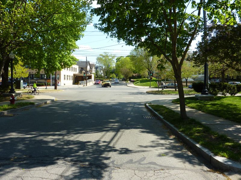
Many Newton residents do not remember when the Carriage Lane looked like this:
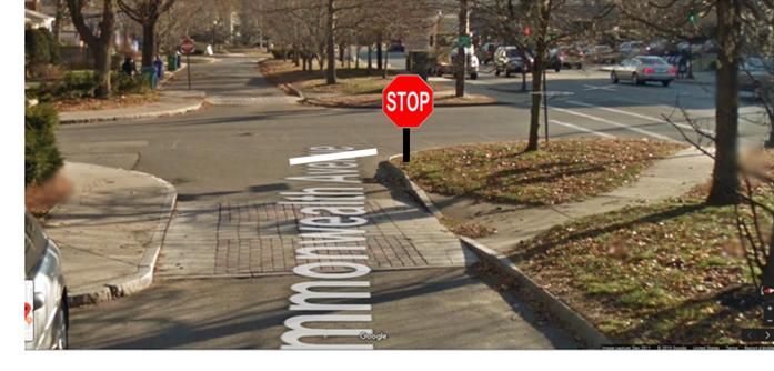
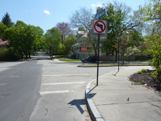
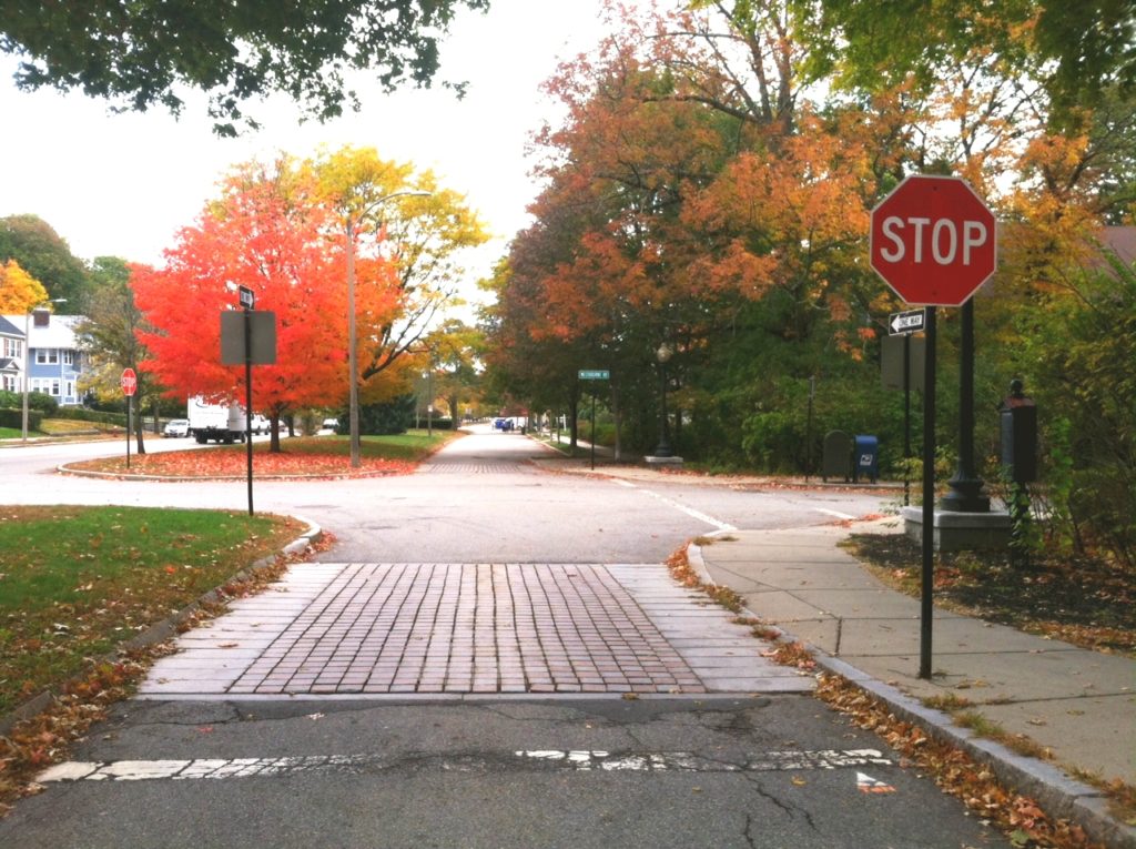
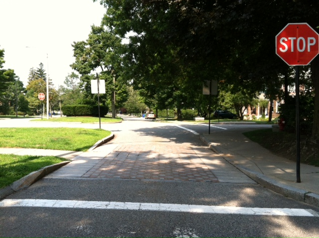
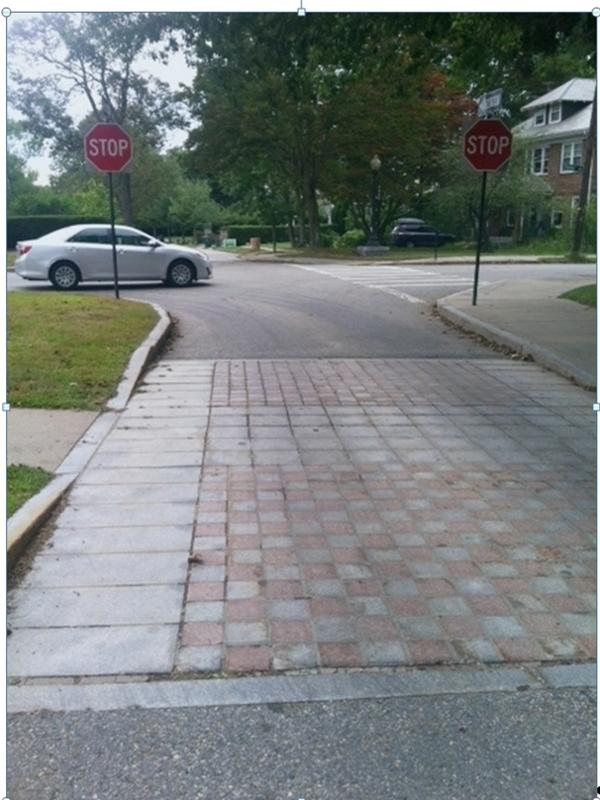
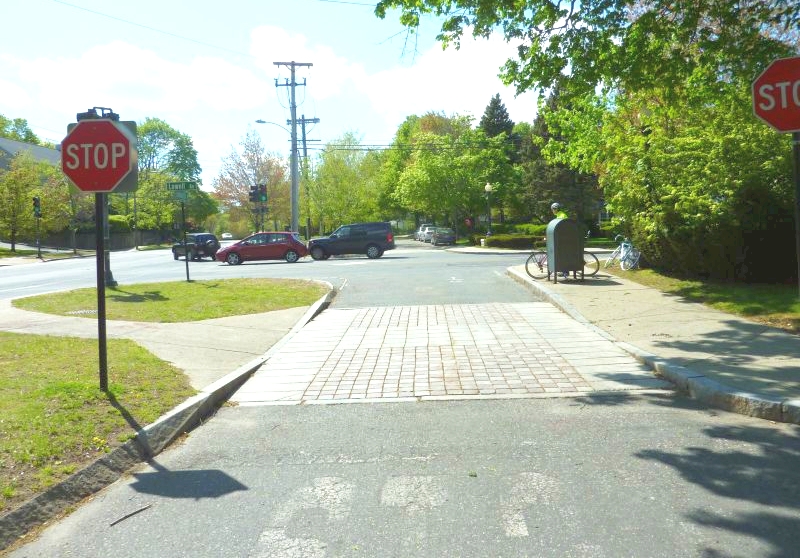
All along the Carriage Road, the stop signs, and the stop lines, were 20-23 feet away from the intersection. Often the stop signs were located before a band of cobbles. Westbound drivers would stop before the stop sign and then roll right through the intersection, never really stopping. This was incredibly dangerous for those not in motor vehicles, as well as those in motor vehicles. It was also dangerous for drivers on the cross roads heading north and south.
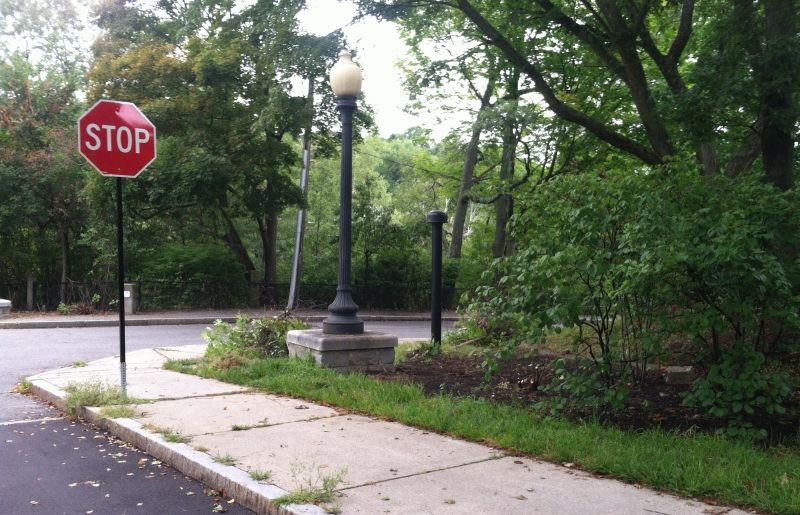
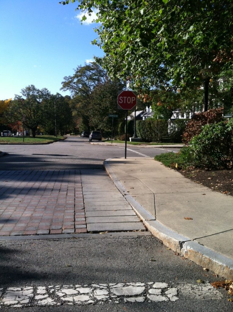
In 2018, I eventually realized the problem, and set about finding a solution. Going through 311, I requested, and achieved, having the following stop signs moved to be closer to the actual intersection.
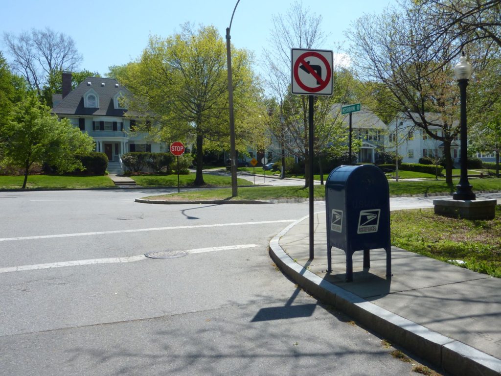
WESTBOURNE: our first success.
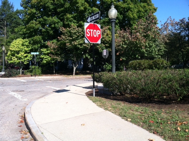
CEDAR STREET: Our next success. And we also had a stop sign added on the left.
Lowell Avenue:
Note: Councilor Andreae Downs was especially helpful in having this particular stop sign moved closer to the intersection.
Morton Road:
It didn’t take very long for westbound drivers to drive much more safely. We were one step closer to to a safer experience on the road for pedestrians, bicyclists and drivers. Intersection by intersection, drivers would come to a complete stop right before the intersection, where they could see left, right and straight ahead, and where drivers at the crossroads could have clear visibility of any vehicle – bicycles included – heading west and about to enter the intersection.
With attention paid to things like this, we can be incrementally and inexpensively making it safer for pedestrians, cyclists and drivers.
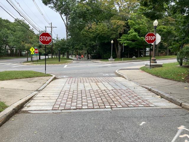
Valentine Street
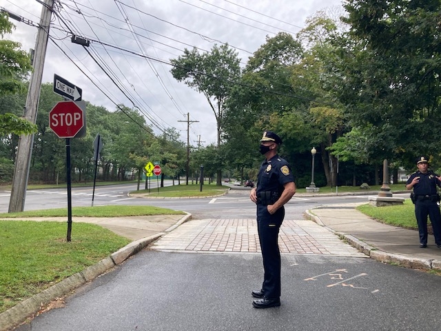
September, 2021: Phil and I met with Chief Carmichael, Cpt. Boudreau and Lt. McMains.
Carriage Road before (east of) Valentine
Carriage Road before Valentine: AFTER
Thanks to Chief Carmichael and engineer Isaac Prizant for agreeing to and implementing these important safety modifications.